
Each year, Payette Land Trust visits every property it helps protect through a conservation easement. Currently there are 21 properties! These visits are an essential part of ensuring these landscapes remain healthy, productive, and true to the terms of the conservation agreement. This process, known as conservation easement monitoring, helps maintain strong relationships with landowners and supports PLT’s long-term stewardship goals.
For a closer look at what this work entails, read on for an interview with PLT’s Stewardship Manager, Karie Boone where she shares what goes into a typical monitoring season.
Q. How do you decide what time of year to visit a property?
A. We work with landowners across the West Central and Salmon River Mountains, and nestled between the buttes bordering the Camas Prairie north of Grangeville. As you might suspect, this region hosts a diversity of landscapes and altitudinal differences. I aim to visit the lower elevation properties in Idaho and Washington Counties first while the snow is still on the ground in Adams and Valley Counties. I ideally get most visits done before smoke season and then finish up any stragglers in the Fall. With that said, the when and where also depends on landowner availability and preference. Some ranchers prefer late Spring; others want to wait until Fall. I end up balancing landowner preferences with logistical realities and seasonal weather patterns. From there, I coordinate with PLT board members and other staff members that are joining the annual monitoring visit.
Q. Can you walk us through a typical monitoring day?
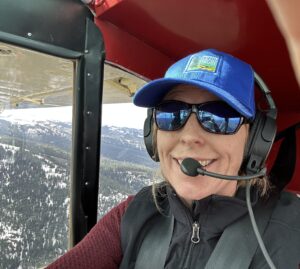
A. Much of the work for monitoring visits happens before stepping foot on a property. I coordinate time and date for all those involved – which sometimes feels like a small victory. I read the property-specific legal documents, such as the conservation easement and title report, review past monitoring reports, pictures documenting continuity and change on the landscape, previous communications and think through my plan for the visit. On the day of, I pick up any attending staff or board members and hit the road. Travel times can be anywhere between five minutes through town to a two-and-a-half-hour drive that includes four-wheel drive roads through the national forest. Sometimes I get a ride in a bush plane! On site I usually meet with the landowner to check-in on their plans for the conserved
property. This way, I learn about any proposed changes and answer any questions about the terms of the easement. I walk, bike, or ride a four-wheeler across the property to take pictures and notes, and chat with the landowner if they’re present. I say goodbye and make my way home.
Karie headed to Driscoll Ranch in Washington County
Q. What’s in your backpack?
A.
- A folder containing the easement, title report, past monitoring reports
- ipad with monitoring software
- iphone with additional map and contact resources
- Water, snacks and more snacks (I’ve been trained by my young child)
- Layers to be ready for all weather conditions
- First Aid kit
- Binoculars (sometimes)
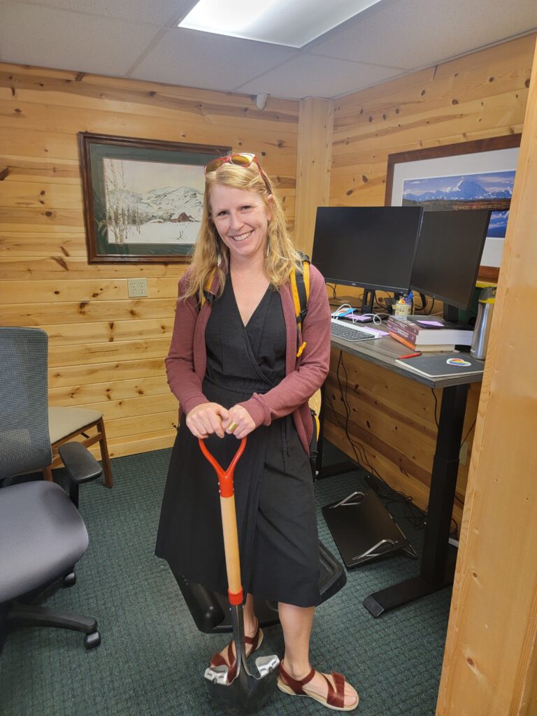
Karie swapping between office and field
Q. How do you use maps/GPS/ other tech tools during a visit?
A. Before going into the field, I utilize our ArcGIS and Lens mapping software. GIS allows us to explore the landscape’s characteristics such as elevation changes, land cover, soil, and wetland types, neighboring land ownership, and watersheds. Lens provides satellite images to do an initial survey of the property. We also use industry standard monitoring software called Landscape that has a map of the property, tracks my path during visits and organizes all the data including pictures under the property record. This helps us keep track of monitoring visits and communications over time.
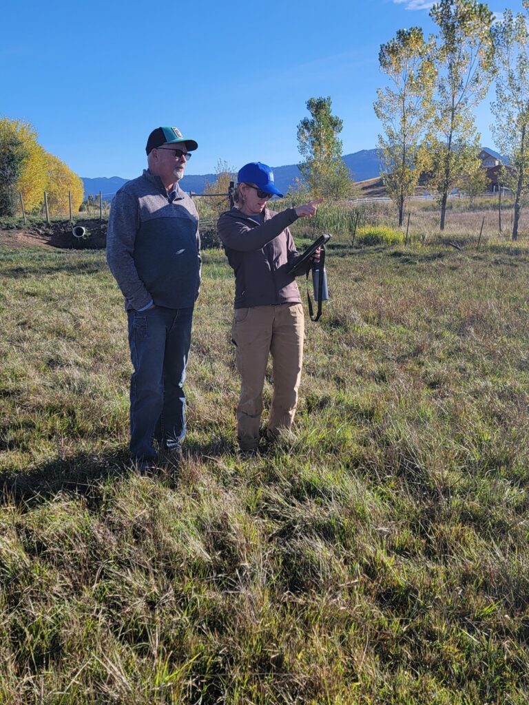
Harrison Ranch Manager Jake Squires and Karie on the Harrison Ranch in Valley County
This is Part 1 of a 2-part interview on land stewardship. Stay tuned for Part 2: coming soon!